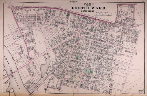
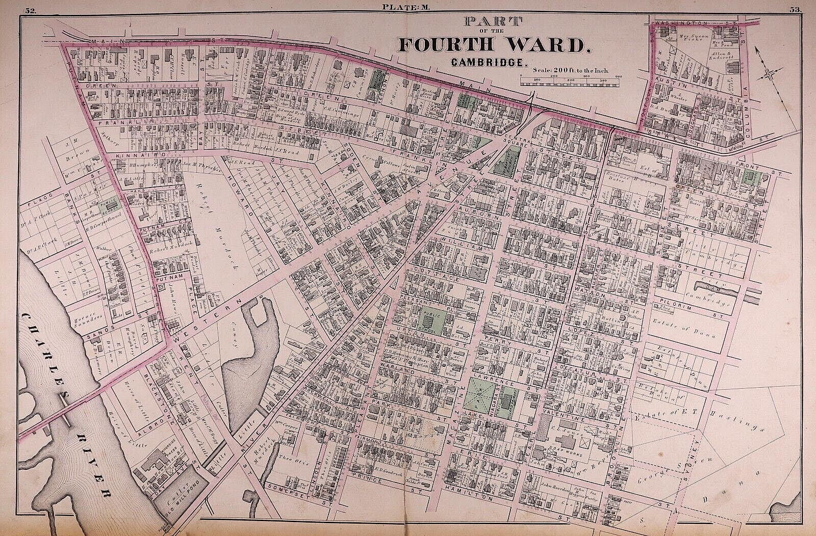
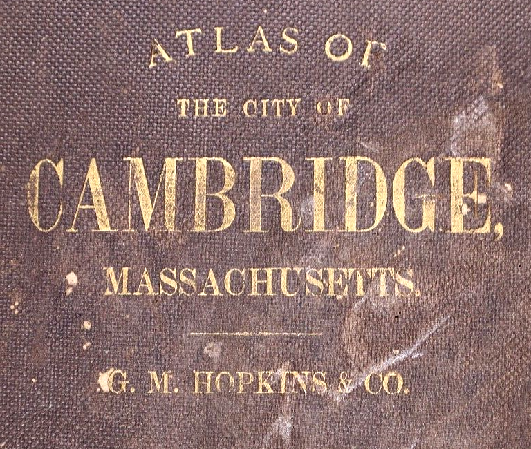
1873 Plat Map, CAMBRIDGE, MA - PART of 4th WARD - CENTRAL SQUARE (17x27)-#09
US $64.75US $64.75
Jul 17, 02:14Jul 17, 02:14
Picture 1 of 3


Gallery
Picture 1 of 3

Have one to sell?
1873 Plat Map, CAMBRIDGE, MA - PART of 4th WARD - CENTRAL SQUARE (17x27)-#09
US $64.75
ApproximatelyS$ 83.20
or Best Offer
Was US $68.88 (6% off)
Condition:
“This map is not *new* or *new* condition. It was printed in 1873 & removed from a Cambridge, ”... Read moreabout condition
Ended: Jul 17, 2025 02:14:01 SGT
Oops! Looks like we're having trouble connecting to our server.
Refresh your browser window to try again.
Shipping:
Free USPS Ground Advantage®.
Located in: New Braunfels, Texas, United States
Delivery:
Estimated between Thu, 28 Aug and Thu, 4 Sep to 94104
Returns:
30 days return. Buyer pays for return shipping. If you use an eBay shipping label, it will be deducted from your refund amount.
Coverage:
Read item description or contact seller for details. See all detailsSee all details on coverage
(Not eligible for eBay purchase protection programmes)
Seller assumes all responsibility for this listing.
eBay item number:356788074027
Item specifics
- Seller Notes
- US State
- Massachusetts
- SIZE
- 17 x 27
- Color
- Hand tinted - original coloring
- Cartographer/Publisher
- G. M. Hopking & Co.
- City
- Cambridge
- Date Range
- 1800-1899
- Type
- City Map
- Format
- Atlas Map
- Year
- 1873
- S&H
- Free S&H USA - Calculated S&H Worldwide
- Original/Reproduction
- Antique Original
- Land Owners
- Great for ancestry, genealogy & family history research
- Original
- This map page was printed in 1873.
- Ref.
- The cover & title page are not included.
- Age
- Over 150 years old.
Item description from the seller
Seller Feedback
No feedback yet