Picture 1 of 3


Picture 1 of 3


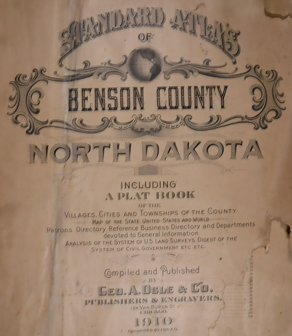
1910 Plat Map ~ DEVILS LAKE, 152N-66W, BENSON Co., NORTH DAKOTA

US $45.95
ApproximatelyS$ 59.48
or Best Offer
Was US $48.88 (6% off)
Condition:
“Quick N Free S&H ~ Reasonable offers considered. Browse through 1,000s of Rare, Authentic, Antique & ”... Read moreabout condition
Ended: May 11, 2024 02:03:42 SGT
Postage:
Free USPS Ground Advantage®.
Located in: Schertz, Texas, United States
Delivery:
Estimated between Sat, 28 Sep and Thu, 3 Oct to 43230
Returns:
30 days return. Buyer pays for return shipping.
Coverage:
Read item description or contact seller for details. See all detailsSee all details on coverage
(Not eligible for eBay purchase protection programmes)
Seller assumes all responsibility for this listing.
eBay item number:355623791722
Item specifics
- Seller Notes
- Frame
- Suitable for framing.
- US State
- North Dakota
- Color
- All colors are original.
- Cartographer/Publisher
- Geo. A. Ogle
- Date Range
- 1910
- Type
- Plat & County Map
- Format
- Plat Atlas Map
- Year
- 1910
- Ref#
- BENSON-ND1910/022523
- Original/Reproduction
- Antique Original
- Country/Region
- United States of America
- Original
- This map page was printed in 1910.
