Picture 1 of 8


Gallery
Picture 1 of 8


Have one to sell?
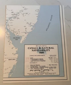
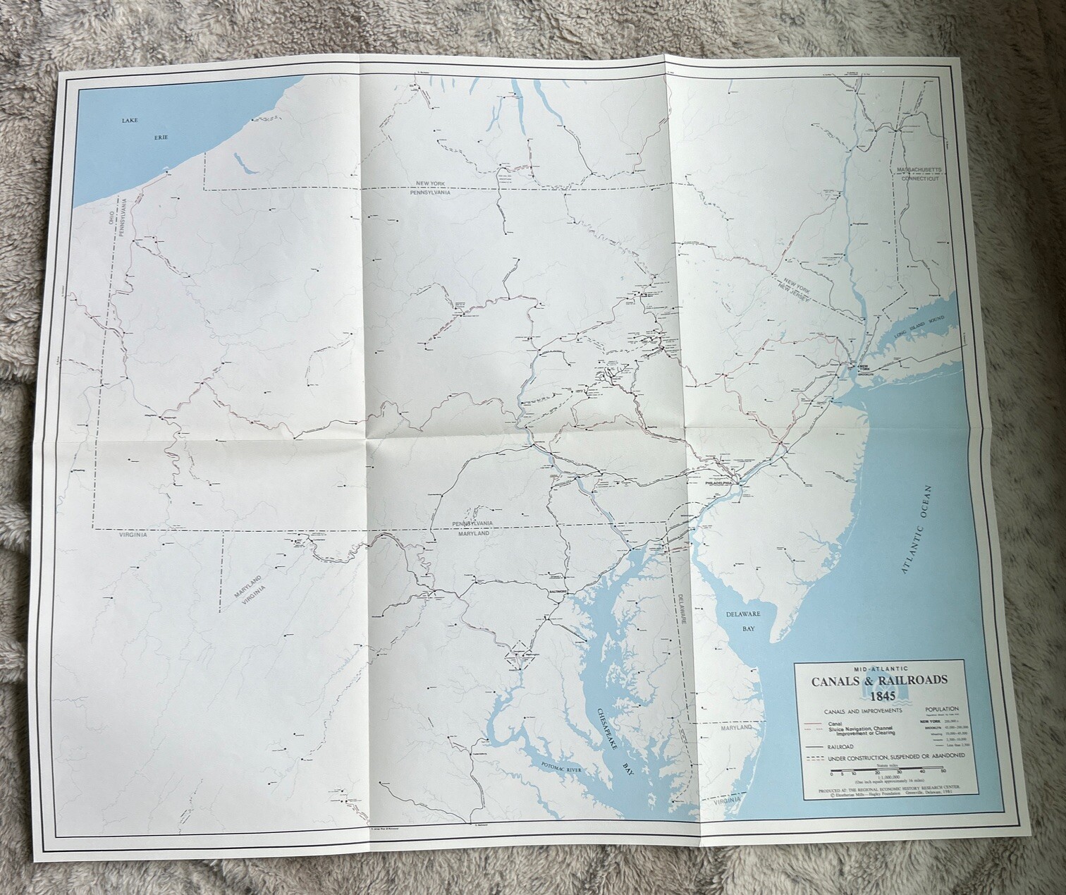
Canals & Natural Navigability Maps, 4 pcs, 1800 to 1860

US $20.00
ApproximatelyS$ 25.64
Condition:
“Very Good Condition. See Photos”
Oops! Looks like we're having trouble connecting to our server.
Refresh your browser window to try again.
Shipping:
US $4.47 (approx S$ 5.73) USPS Media MailTM.
Located in: Excelsior, Minnesota, United States
Delivery:
Estimated between Tue, 23 Sep and Mon, 29 Sep to 94104
Returns:
No returns accepted.
Coverage:
Read item description or contact seller for details. See all detailsSee all details on coverage
(Not eligible for eBay purchase protection programmes)
Seller assumes all responsibility for this listing.
eBay item number:335535160616
Item specifics
- Seller Notes
- “Very Good Condition. See Photos”
- Format
- Atlas Map
- US State
- North East / Mid Atlantic
- City
- Multiple
- Country/Region
- United States of America
- Date Range
- 1800-1899
- Type
- River Map
- Original/Reproduction
- Unknown
Item description from the seller

Seller feedback (379)
- i***s- Feedback left by buyer.Past monthVerified purchase🌟 Received - Thank You 🌟 5 Star Seller 🌟 Fast Delivery 🌟
- d***n (509)- Feedback left by buyer.Past monthVerified purchaseThanks very much
- s***n (2723)- Feedback left by buyer.Past monthVerified purchaseThx
Seller feedback (379)
- i***s- Feedback left by buyer.Past monthVerified purchase🌟 Received - Thank You 🌟 5 Star Seller 🌟 Fast Delivery 🌟
- d***n (509)- Feedback left by buyer.Past monthVerified purchaseThanks very much
- s***n (2723)- Feedback left by buyer.Past monthVerified purchaseThx