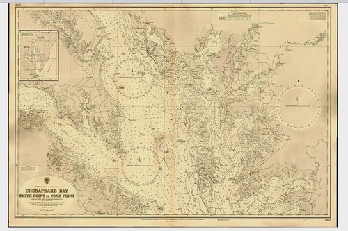
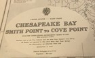
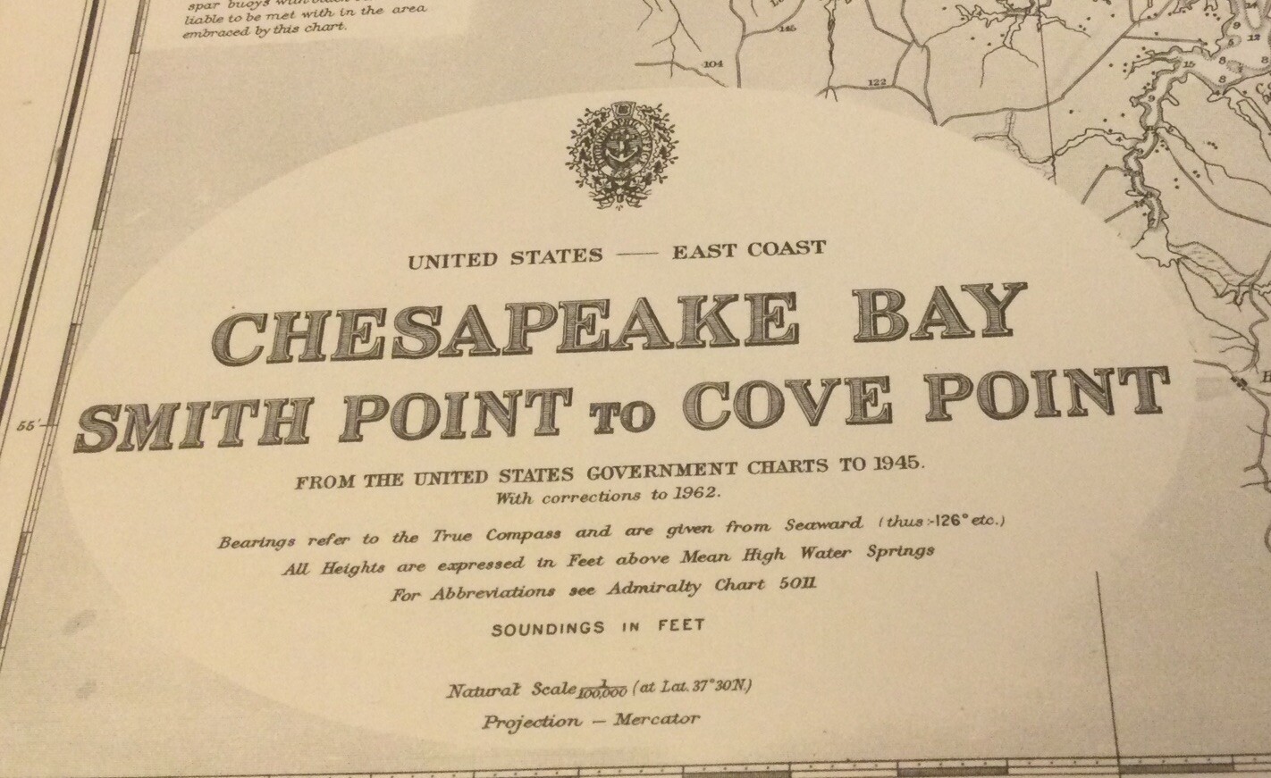
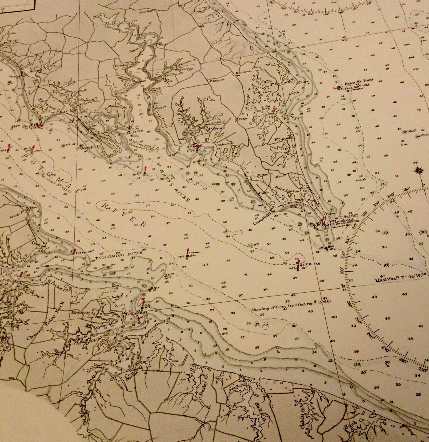
VINTAGE ADMIRALTY CHART. No.2846. CHESAPEAKE BAY. 1947 Edition.
GBP 29.00GBP 29.00
Jul 15, 18:10Jul 15, 18:10
Picture 1 of 9


Gallery
Picture 1 of 9


Have one to sell?
VINTAGE ADMIRALTY CHART. No.2846. CHESAPEAKE BAY. 1947 Edition.
SMITH POINT to COVE POINT
GBP 29.00
ApproximatelyS$ 50.14
or Best Offer
Condition:
Oops! Looks like we're having trouble connecting to our server.
Refresh your browser window to try again.
Shipping:
GBP 20.00 (approx S$ 34.58) Royal Mail International Tracked.
Located in: Gullane, East Lothian , United Kingdom
Delivery:
Estimated between Thu, 14 Aug and Mon, 25 Aug to 91768
Returns:
14 days return. Buyer pays for return shipping. If you use an eBay shipping label, it will be deducted from your refund amount.
Coverage:
Read item description or contact seller for details. See all detailsSee all details on coverage
(Not eligible for eBay purchase protection programmes)
Seller assumes all responsibility for this listing.
eBay item number:335344032707
Item specifics
- Antique
- Yes
- Date Range
- 1920-1929
- Type
- Nautical Map
- US State
- Maryland
- Format
- Sheet Map
- Printing Technique
- Copper Plate
- Year
- 1922
- Original/Reproduction
- Vintage Original
- Cartographer/Publisher
- British Admiralty
- City
- Crisfield, Kinsale, Wynne, Nanticoke.
- Country/Region
- United States of America
Item description from the seller
Seller Feedback
No feedback yet