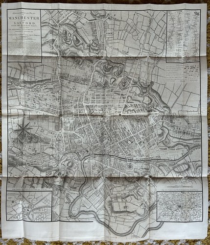
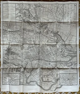
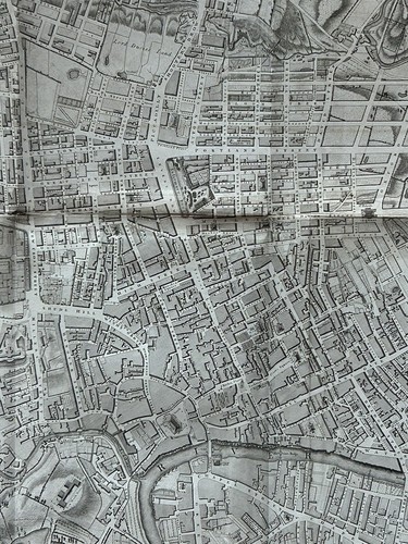
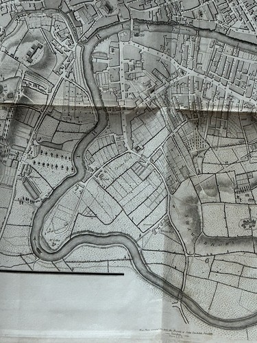
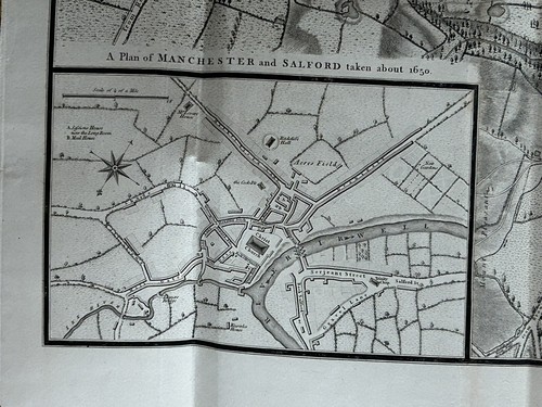
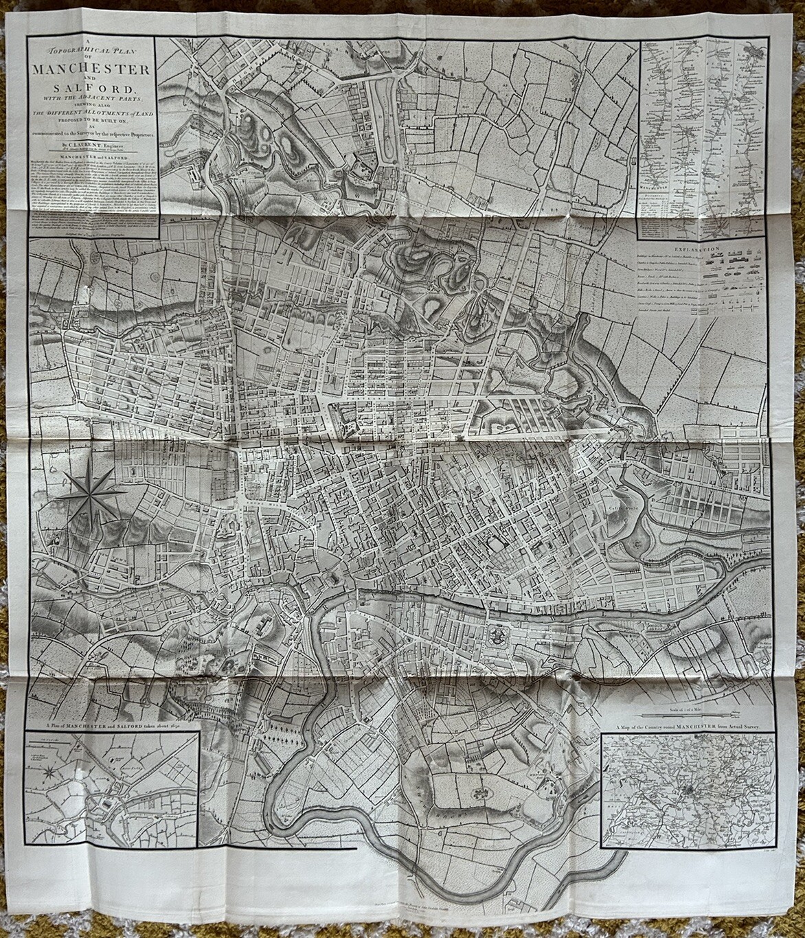
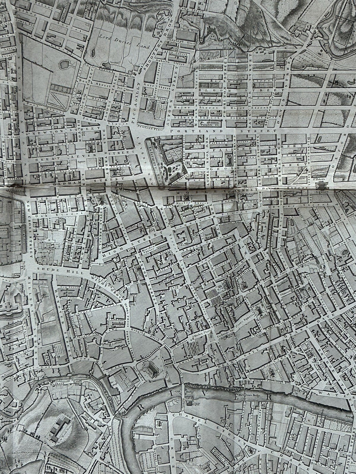
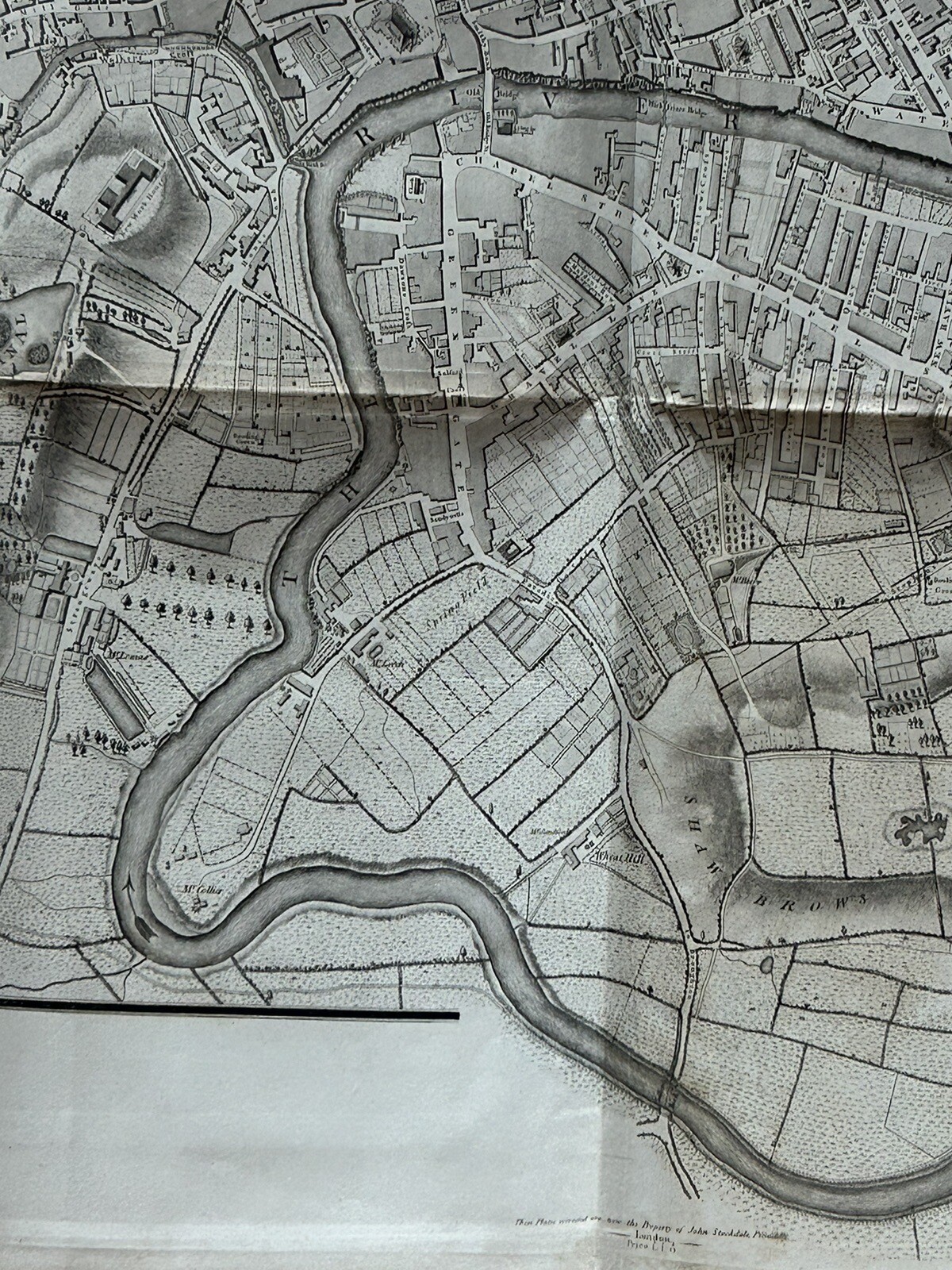
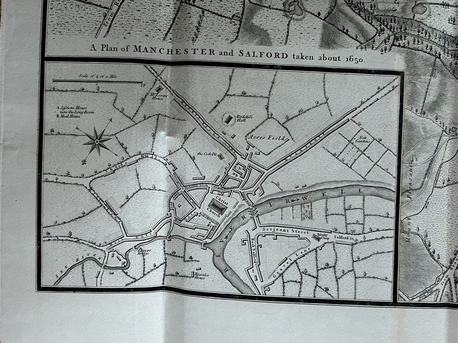
1793 Plan Manchester & Salford Large Folding Map by Charles Laurent 106 cm x 91
GBP 350.00GBP 350.00
Sep 05, 15:07Sep 05, 15:07
Picture 1 of 17


Gallery
Picture 1 of 17


Have one to sell?
1793 Plan Manchester & Salford Large Folding Map by Charles Laurent 106 cm x 91
GBP 350.00
ApproximatelyS$ 608.83
or Best Offer
Condition:
“The map is in good condition for its age.”
Oops! Looks like we're having trouble connecting to our server.
Refresh your browser window to try again.
Shipping:
GBP 11.50 (approx S$ 20.00) Royal Mail International Tracked.
Located in: Manchester, United Kingdom
Delivery:
Estimated between Thu, 18 Sep and Tue, 30 Sep to 94104
Returns:
60 days return. Seller pays for return shipping.
Coverage:
Read item description or contact seller for details. See all detailsSee all details on coverage
(Not eligible for eBay purchase protection programmes)
Seller assumes all responsibility for this listing.
eBay item number:257052946625
Item specifics
- Seller Notes
- “The map is in good condition for its age.”
- Date Range
- 1700-1799
- Antique
- Yes
- Type
- Road Map
- Format
- Folding Map
- Printing Technique
- Copper Plate
- Year
- 1793
- Era
- 1700s
- Cartographer/Publisher
- John Stockdale
- Original/Reproduction
- Antique Original
- City
- Manchester
- Country/Region
- England
- County
- Lancashire, Yorkshire
Item description from the seller
Seller Feedback
No feedback yet