Picture 1 of 12


Gallery
Picture 1 of 12


Have one to sell?
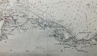
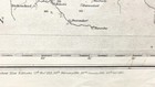
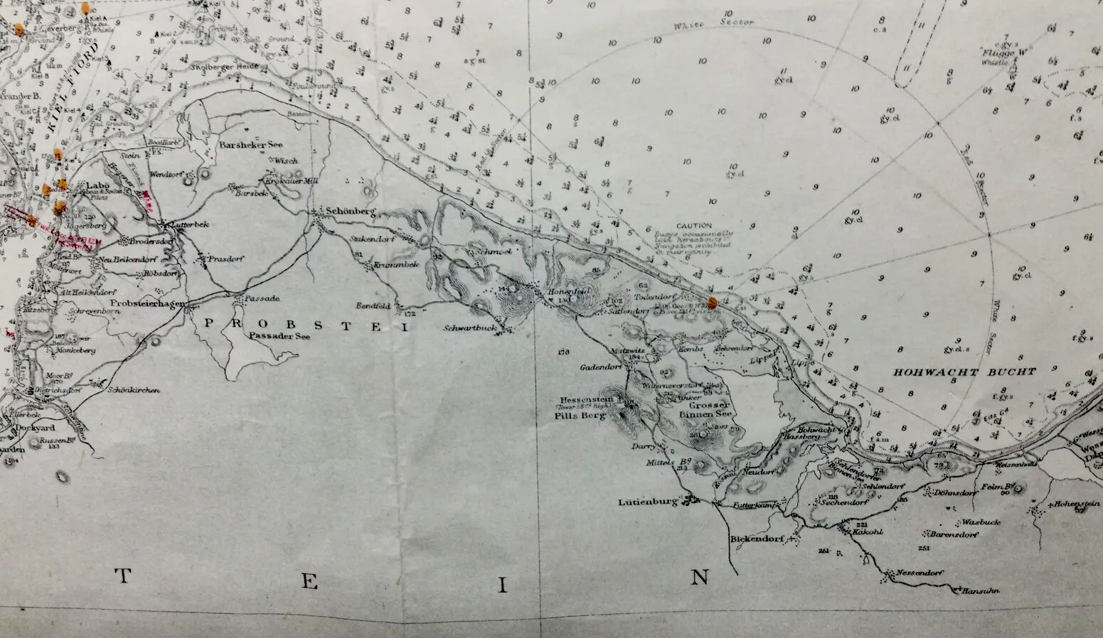
KEIL BAY, KAISER WILHELM CANAL, KEIL CANAL, 1906 ADMIRALTY SEA CHART, No.2117
GBP 29.00
ApproximatelyS$ 50.42
or Best Offer
Condition:
Oops! Looks like we're having trouble connecting to our server.
Refresh your browser window to try again.
Shipping:
GBP 22.83 (approx S$ 39.69) International Priority Shipping to United States via eBay's Global Shipping Program.
Located in: Gullane, East Lothian , United Kingdom
Import charges:
Free amount confirmed at checkout
Delivery:
Estimated between Fri, 29 Aug and Tue, 9 Sep to 94104
Includes international tracking
Returns:
No returns accepted.
Coverage:
Read item description or contact seller for details. See all detailsSee all details on coverage
(Not eligible for eBay purchase protection programmes)
Seller assumes all responsibility for this listing.
eBay item number:235935857670
Item specifics
- Date Range
- 1900-1909
- Antique
- Yes
- Type
- Nautical Map
- Format
- Sheet Map
- Year
- 1906
- Era
- 1906
- State
- Schleswig-Holstein
- Cartographer/Publisher
- Hydrographic Office
- Original/Reproduction
- Vintage Original
- City
- Keil, Schleswig, Flensburg, Marstal, Nakskov, Burg
- Country/Region
- Denmark, Germany
- County
- Schleswig, Fehmarn, Laaland, Sundewitt.
Item description from the seller
Seller feedback (3,939)
- _***n (593)- Feedback left by buyer.Past monthVerified purchaseGood condition postcard arrived well protected and in good time . Thank You very much Andrew !
- _***n (593)- Feedback left by buyer.Past monthVerified purchaseGood condition postcard arrived well protected and in good time . Thank You very much Andrew !
- .***i (1294)- Feedback left by buyer.Past monthVerified purchasePerfect, thank you.