Picture 1 of 17


Gallery
Picture 1 of 17


Have one to sell?
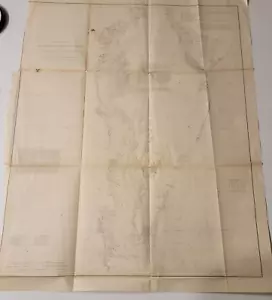
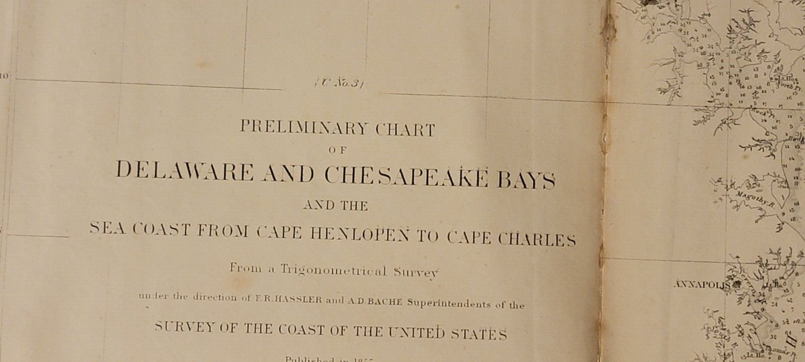
1855 US Coast Survey preliminary chart map Chesapeake Delaware Bays Baltimore
US $95.00
ApproximatelyS$ 123.62
Condition:
Oops! Looks like we're having trouble connecting to our server.
Refresh your browser window to try again.
Shipping:
Free USPS Media MailTM.
Located in: Lafayette, Colorado, United States
Delivery:
Estimated between Mon, 1 Dec and Sat, 6 Dec to 94104
Returns:
No returns accepted.
Coverage:
Read item description or contact seller for details. See all detailsSee all details on coverage
(Not eligible for eBay purchase protection programmes)
About this item
Seller assumes all responsibility for this listing.
eBay item number:196941410302
Item specifics
- Date Range
- 1850-1899
- Type
- Nautical Map
- Format
- Folding Map
- Printing Technique
- Lithography
- US State
- Delaware, Maryland, Virginia
- Year
- 1855
- Original/Reproduction
- Antique Original
- Cartographer/Publisher
- A. D. Bache
- City
- Baltimore, Charleston
- Country/Region
- United States of America
Item description from the seller
Seller feedback (120)
- e***v (2189)- Feedback left by buyer.Past 6 monthsVerified purchaseItem as described. Packaged well, shipped quickly. Great seller.
- 0***0 (221)- Feedback left by buyer.Past monthVerified purchaseQuick shipping and great packaging. Great value here! A+++seller
- b***0 (595)- Feedback left by buyer.Past 6 monthsVerified purchaseAccurate description as well as fast and safe arrival of item; great seller.