Picture 1 of 8


Gallery
Picture 1 of 8


Have one to sell?
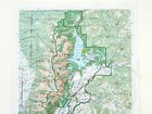
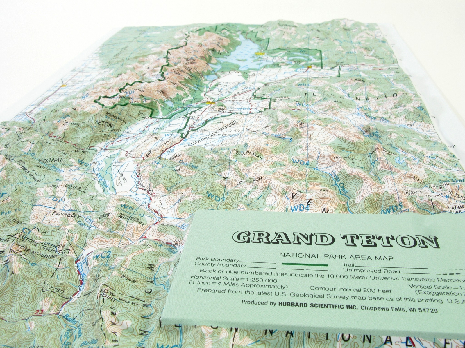
Grand Teton National Park Raised Relief Map

US $19.95
ApproximatelyS$ 25.74
Condition:
New
A brand-new, unused, unopened, undamaged item in its original packaging (where packaging is applicable). Packaging should be the same as what is found in a retail store, unless the item was packaged by the manufacturer in non-retail packaging, such as an unprinted box or plastic bag. See the seller's listing for full details.
6 available4 sold
Oops! Looks like we're having trouble connecting to our server.
Refresh your browser window to try again.
Shipping:
US $25.68 (approx S$ 33.13) UPS Ground.
Located in: Brookings, South Dakota, United States
Delivery:
Estimated between Tue, 21 Oct and Wed, 29 Oct to 94104
Returns:
30 days return. Buyer pays for return shipping. If you use an eBay shipping label, it will be deducted from your refund amount.
Coverage:
Read item description or contact seller for details. See all detailsSee all details on coverage
(Not eligible for eBay purchase protection programmes)
Seller assumes all responsibility for this listing.
eBay item number:165742480977
Item specifics
- Condition
- Brand
- AMEP
- Type
- Raised Relief
Item description from the seller

Popular categories from this store
Seller feedback (2,361)
This item (1)
All items (2,361)
- s***s (1452)- Feedback left by buyer.More than a year agoVerified purchaseGood fast service A+
- m***p (42)- Feedback left by buyer.More than a year agoVerified purchasewell presented and packaged...Thank you.Shenandoah National Park Raised Relief Map (#165917361090)
- 1***o (248)- Feedback left by buyer.More than a year agoVerified purchaseMap quality is HORRIBLE !!! It is very thin, flimsy plastic. Worse is the legibility. You can hardly read town names, let alone physical feature names such as creeks, mountain elevations, etc... I have an old Colorado map of this type (1990) and it is 100 times better quality as you can easily read town and physical feature names. I have included 2 photos to compare the maps. The Colorado map is made by Kistler (photo on right) (NEW Utah map on left) A HUGE waste of money for a POOR Product !Utah Natural Color Relief 3D Raised Relief Map (#403958976264)
- v***i (1015)- Feedback left by buyer.More than a year agoVerified purchaseGood service, Nice product, Very pleased with everything. Shipping seemed to be a bit highArizona 3D Raised Relief Map (#403958973947)