Picture 1 of 1

Gallery
Picture 1 of 1
Have one to sell?
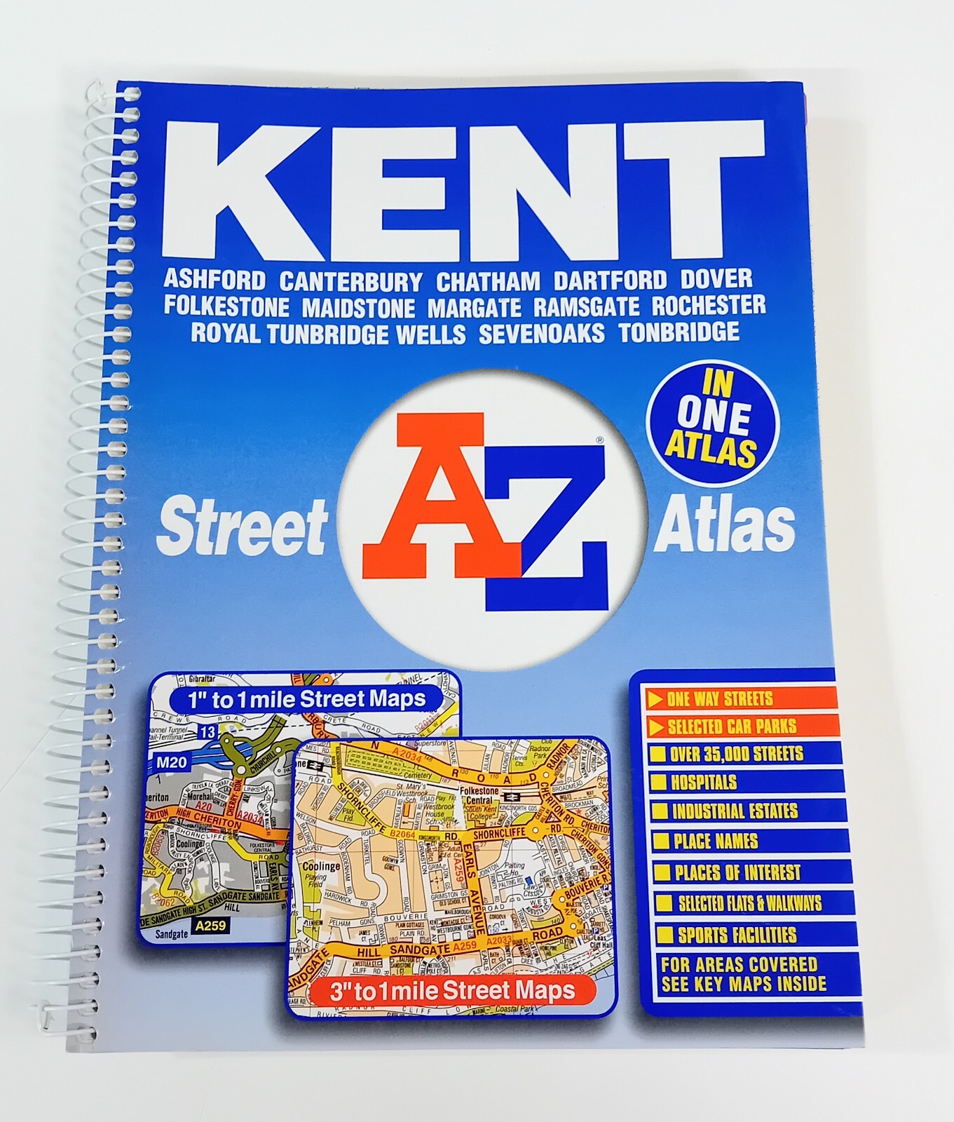
A-Z Kent Street Atlas Map by Great Britain (Spiral Bound, 2004)

EUR 26.29
ApproximatelyS$ 39.57
Condition:
Oops! Looks like we're having trouble connecting to our server.
Refresh your browser window to try again.
Shipping:
Does not ship to United States.
Located in: Brentford, Middlesex, United Kingdom
Delivery:
Varies
Returns:
30 days return. Buyer pays for return shipping. If you use an eBay shipping label, it will be deducted from your refund amount.
Coverage:
Read item description or contact seller for details. See all detailsSee all details on coverage
(Not eligible for eBay purchase protection programmes)
Seller assumes all responsibility for this listing.
eBay item number:156009260147
Item specifics
- Condition
- Publisher
- HarperCollins
- Publication Year
- 2004
- Subject
- Transportation
- Item Height
- 190 mm
- Language
- English
- Publication Name
- A-Z Kent Street Atlas
- Type
- City Map
- Map Scale
- 1:1 m-3.12
- Item Width
- 255 mm
- Format
- Spiral bound
- ISBN
- 9781843481645
Item description from the seller
Seller business information
VAT number: GB 902401185

Popular categories from this store
Seller feedback (13,189)
- 8***g (9209)- Feedback left by buyer.Past monthVerified purchaseAwesome caring seller. Great 12" record. Awesome extra strong packaging to ensure that not even the sleeve corners got damaged ... thank you. Brilliant communication. Outstanding transaction. Would definitely buy from this awesome seller again. I am extremely happy! Thanks.
- l***_ (259)- Feedback left by buyer.Past 6 monthsVerified purchaseReceived as described actually playing it as I send this review packaging secure value great collect anything bolan, as long as its different and not got it in my bolan collection so for me it's worth it
- r***t (8)- Feedback left by buyer.Past 6 monthsVerified purchaseIt was incredibly well packed, if there was an absolute way to pack a vinyl this seller has it figured out. Came honestly in nicer condition than listed, I’d 100% buy from this guy again. I don’t leave a lot of reviews but this was worth it