Picture 1 of 3


Gallery
Picture 1 of 3


Have one to sell?
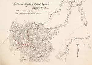
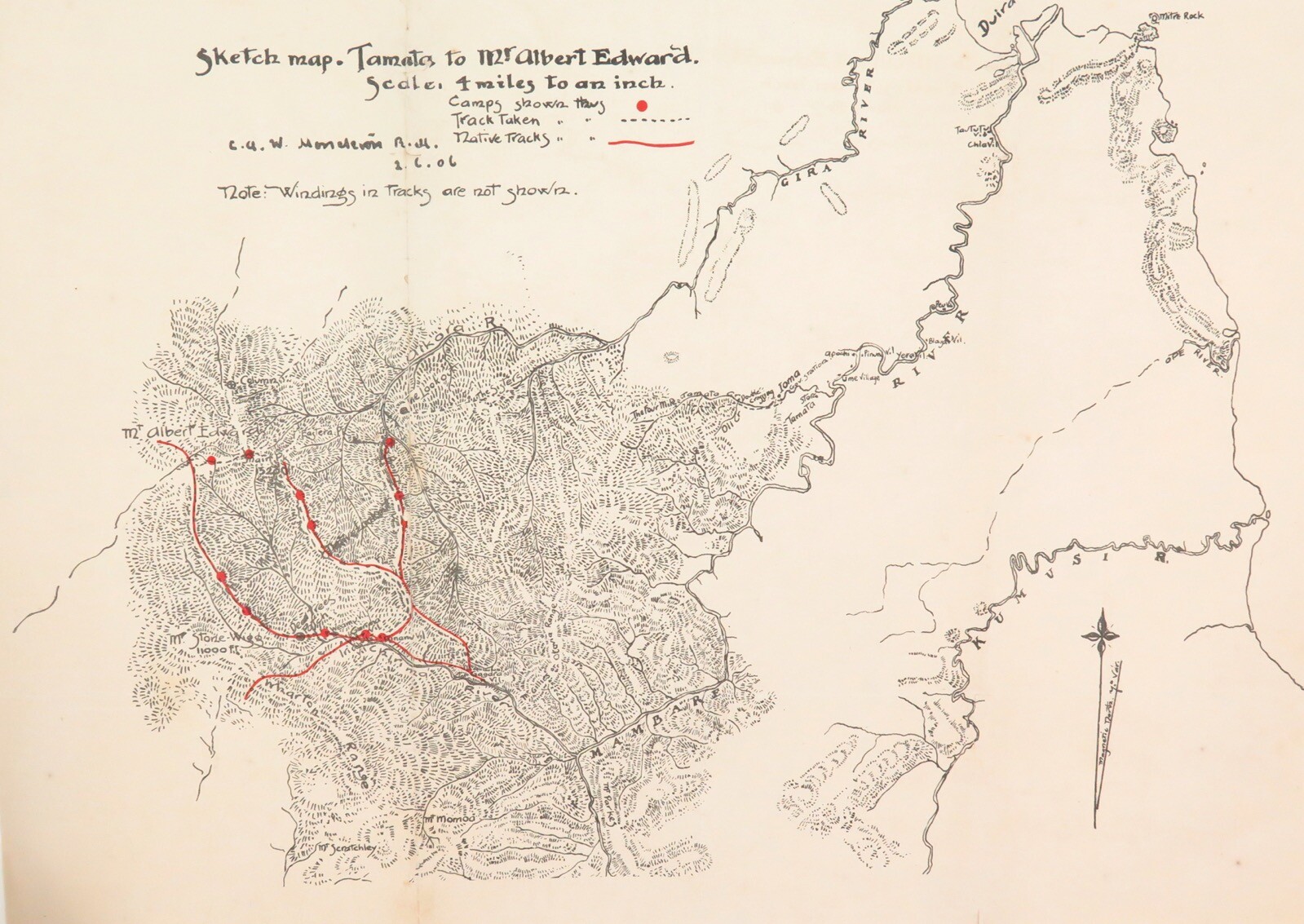
RARE 1906 Colonial British New Guinea Large Map. Tamata to Mt Albert Edward.

AU $299.00
ApproximatelyS$ 250.66
or Best Offer
Condition:
“Used”
Oops! Looks like we're having trouble connecting to our server.
Refresh your browser window to try again.
Shipping:
AU $59.00 (approx S$ 49.46) Australia Post International Express.
Located in: Woolloongabba, Brisbane, Australia
Delivery:
Estimated between Fri, 15 Aug and Fri, 22 Aug to 94104
Returns:
30 days return. Buyer pays for return shipping. If you use an eBay shipping label, it will be deducted from your refund amount.
Coverage:
Read item description or contact seller for details. See all detailsSee all details on coverage
(Not eligible for eBay purchase protection programmes)
Shop with confidence
Seller assumes all responsibility for this listing.
eBay item number:144582932441
Item specifics
- Seller Notes
- “Used”
- Country/Region
- Papua New Guinea
- Date Range
- 1900-1909
- Type
- County Map
- Format
- Folding Map
- Original/Reproduction
- Antique Original
- Year
- 1906
- Colour
- Black & White
- Printing Technique
- Lithography
- Region of Origin
- Australia/Oceania
Item description from the seller

Popular categories from this store
Seller feedback (40,677)
- t***t (830)- Feedback left by buyer.Past monthVerified purchaseGreat watch, arrived just as pictured and described. Packed up safe and shipped quick, internationally. A+ seller.
- 0***5 (2313)- Feedback left by buyer.Past monthVerified purchaseAll good thanks
- 4***7 (8496)- Feedback left by buyer.Past monthVerified purchaseThanks