Picture 1 of 1

Gallery
Picture 1 of 1
Have one to sell?
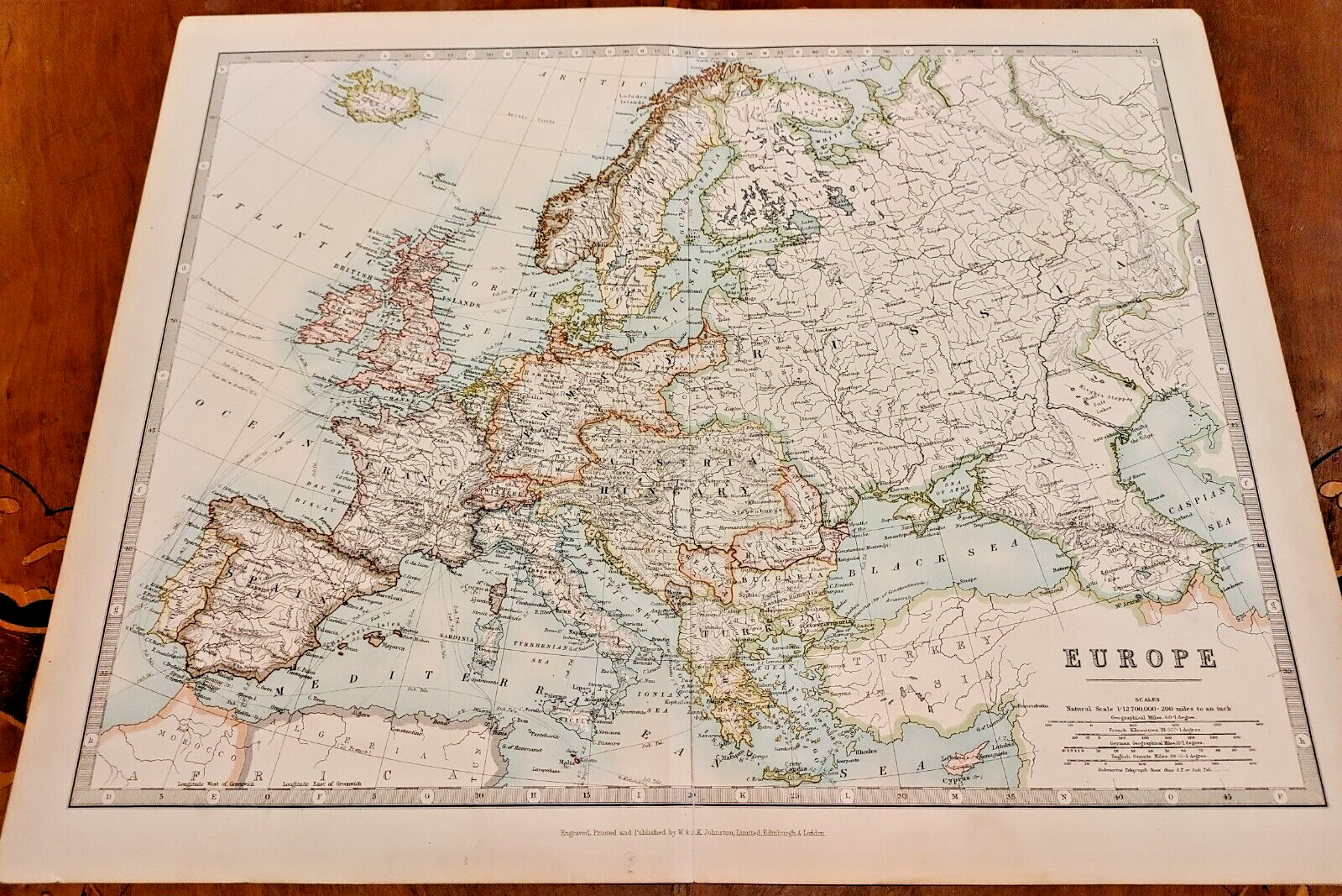
1900 Johnston Colour Atlas Map Chart Continent Europe Turkey Russia Austria UK

GBP 22.46
ApproximatelyS$ 39.02
or Best Offer
Condition:
“6cm tear along the bottom of the middle fold.”
Oops! Looks like we're having trouble connecting to our server.
Refresh your browser window to try again.
Shipping:
GBP 5.81 (approx S$ 10.09) Royal Mail International Standard.
Located in: Richmond, London, United Kingdom
Delivery:
Estimated between Fri, 10 Oct and Tue, 28 Oct
Returns:
30 days return. Buyer pays for return shipping. If you use an eBay shipping label, it will be deducted from your refund amount.
Coverage:
Read item description or contact seller for details. See all detailsSee all details on coverage
(Not eligible for eBay purchase protection programmes)
Seller assumes all responsibility for this listing.
eBay item number:116097248889
Item specifics
- Seller Notes
- “6cm tear along the bottom of the middle fold.”
- Antique
- Yes
- Date Range
- 1900-1909
- Type
- World Atlas
- Format
- Atlas Map
- Year
- 1900
- Era
- 1900s
- Cartographer/Publisher
- Keith Johnston
- Original/Reproduction
- Antique Original
- City
- London
- Country/Region
- England, Europe, Germany, Prussia, Russia, Turkey, Wales
Item description from the seller

Seller feedback (5,424)
- eBay automated feedback- Feedback left by buyer.Past monthOrder completed successfully—tracked and on time
- eBay automated feedback- Feedback left by buyer.Past monthOrder completed successfully—tracked and on time
- g***k (697)- Feedback left by buyer.Past 6 monthsVerified purchaseExcellent thanks 🙏